Digital Orienteering Map Archive for Janis Kums
|
Log in
All users
|
Language:
English
Česky
Dansk
Deutsch
Eesti
English
Español
Français
Italiano
Magyar
Norsk
Português
Svenska
Türkçe
|
DOMA 3.0.2
Show overview map
Hide overview map
|
KML
|
Back
<< Magnets 45.karta (24/09/2020)
|
Magnets (08/11/2020) >>
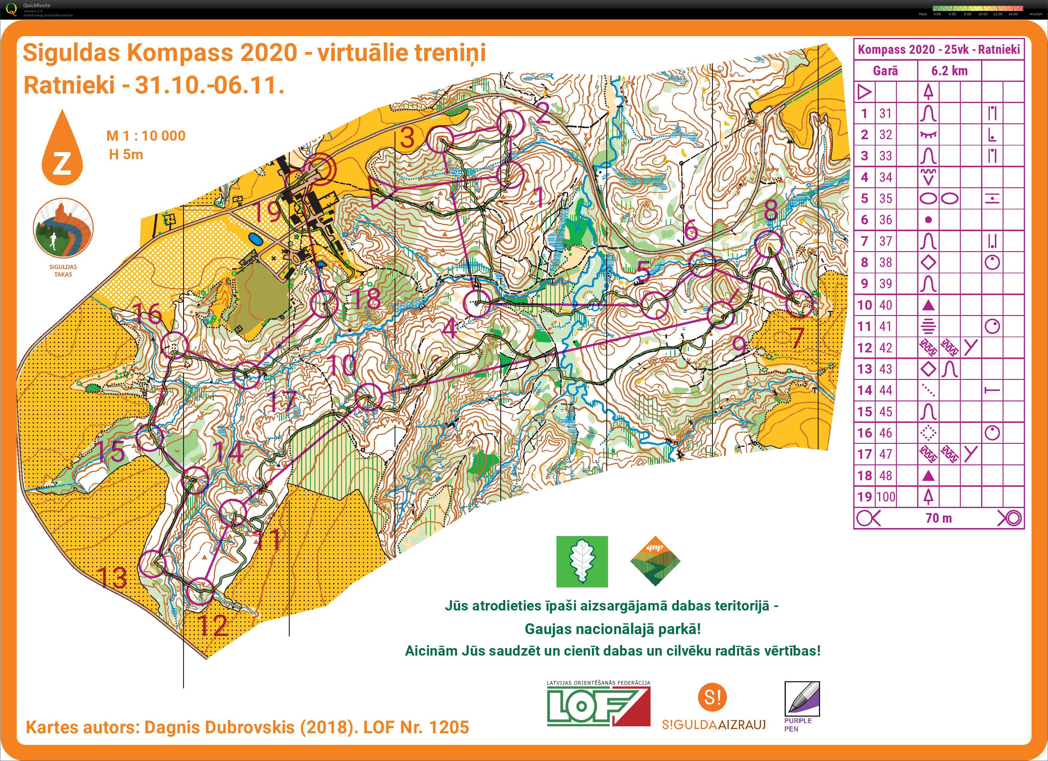
SIguldas takas (05/11/2020)
Category:
Training
Map/area:
Ratnieki
Organiser:
Siguldas takas
Country:
Latvia
Discipline:
long middle
Results
Distance:
7.64 km
Time:
50:49
Easy orienteering in very nice Autumn forest. Stupid route choice in the end of 11CP, where I lost around 2.5'. Should go just around near the open field like I did later.
Other minor issues, but overall felt good with navigation after so long break.
Show comments
Hide comments
(
0
)
Post new comment
Name:
Email:
Save
 English
 Česky
Česky Dansk
Dansk Deutsch
 Eesti
Eesti Español
 Français
 Italiano
 Magyar
 Norsk
Norsk Português
 Svenska
 Türkçe